Geohazards
Fault Monitoring
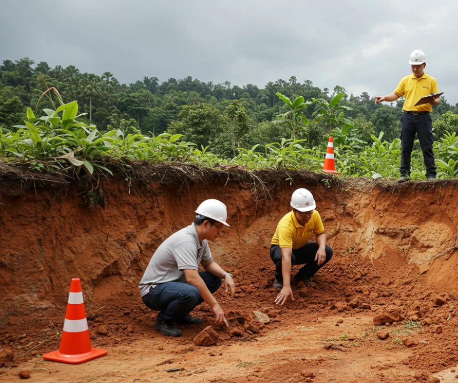
Detect Subtle Movements. Understand Geological Risks.

Fault zones and fracture lines pose serious risks to infrastructure and long term land use. Monitoring is important not just after an earthquake but well before movement becomes hazardous.
Some of these areas are difficult to access or do not have reliable mobile coverage, making it challenging to get continuous data. Our system is designed to work in exactly these conditions. With satellite connectivity and its own power source, it provides real time data even when mobile signal and electricity are not available.
Our fault monitoring solution enables continuous observation of tectonic activity, micro-movements, and stress accumulation, even in remote and signal-limited regions.
Key Areas We Help You Monitor
- Tracks displacement along active or dormant faults
- Detects micro movements and stress buildup in tectonic zones
- Observes surface cracking and subsidence in fault prone areas
- Monitors long term deformation for early warning and planning
- Captures movement near infrastructure built across fault lines
If you are working near fault zones or managing risk in geohazard areas, feel free to contact us. We are ready to support your monitoring needs with a system that is practical, reliable and easy to deploy.
Why Choose Our Solution?
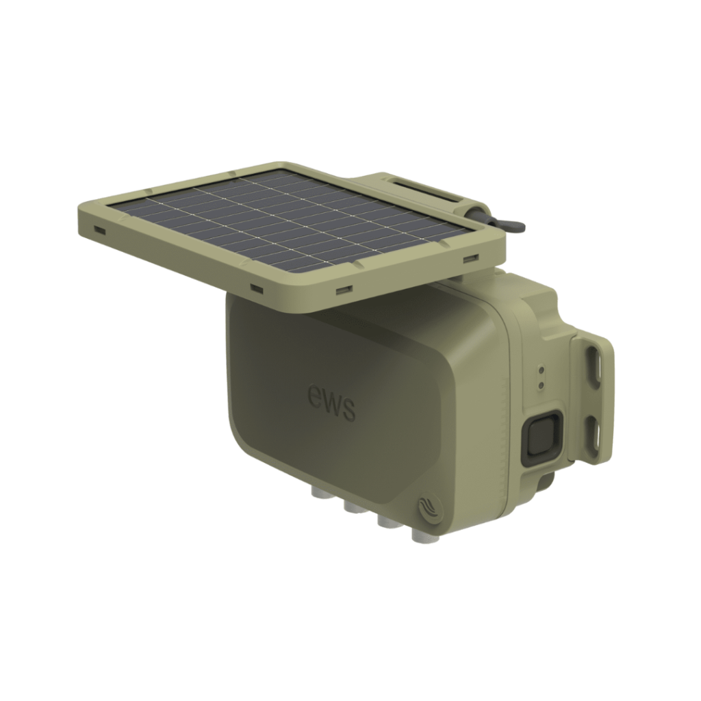
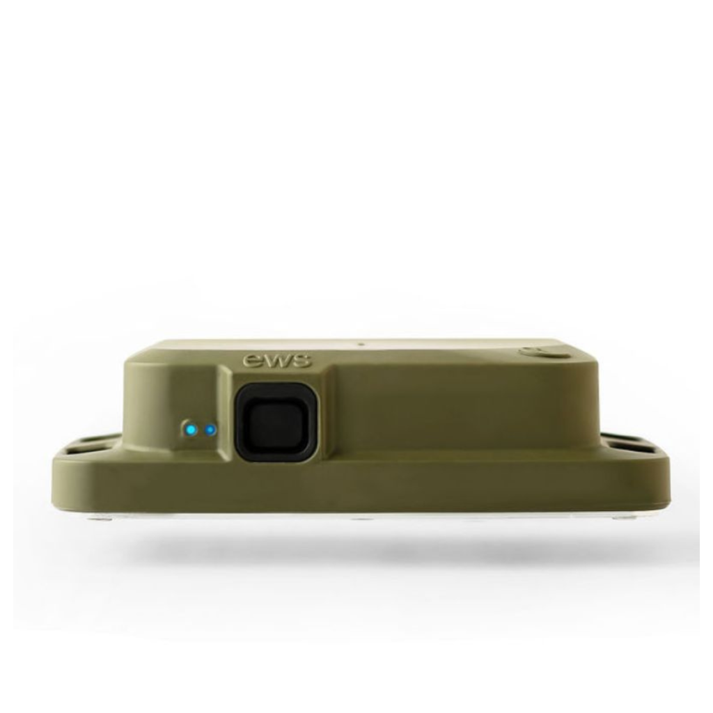
No AC power needed — solar-powered and low-maintenance
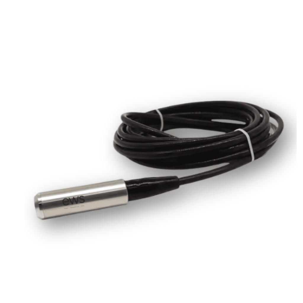
Compatible with GNSS, tiltmeters, and ground sensors
Satellite-connected — works where mobile signal doesn’t
Ideal for long-term monitoring in high-risk geological settings
Access data anytime via web or mobile dashboard
Debris Flow and Water Surge
Monitor Upstream. Stay Informed.

Debris flows and sudden water surges often begin upstream in steep, remote catchments where access, power and mobile signal are limited. Many sites rely on downstream sensors simply because upstream connectivity is not available.
But to act early, it is critical to monitor where the risk starts, not just where the impact is seen. Our system is designed for these upstream locations. With satellite connectivity and its own power source, it delivers real time data and visuals without the need for AC power or mobile networks.
Key Areas We Help You Monitor
- Detects early water level rise and flow rate in upstream areas
- Monitors high risk channels, slopes and debris prone terrain
- Integrates weather stations to support rainfall based response
- Captures visual updates with satellite connected cameras
- Provides full data trend monitoring, not just threshold alerts
- Works where signal and power are not available
Already have a system on site but face issues getting data out? We can integrate with your existing setup, no need to start over. Talk to us about how we can help keep your monitoring connected and your site informed.
Our system is designed for early detection at the source, even in the most remote terrain.
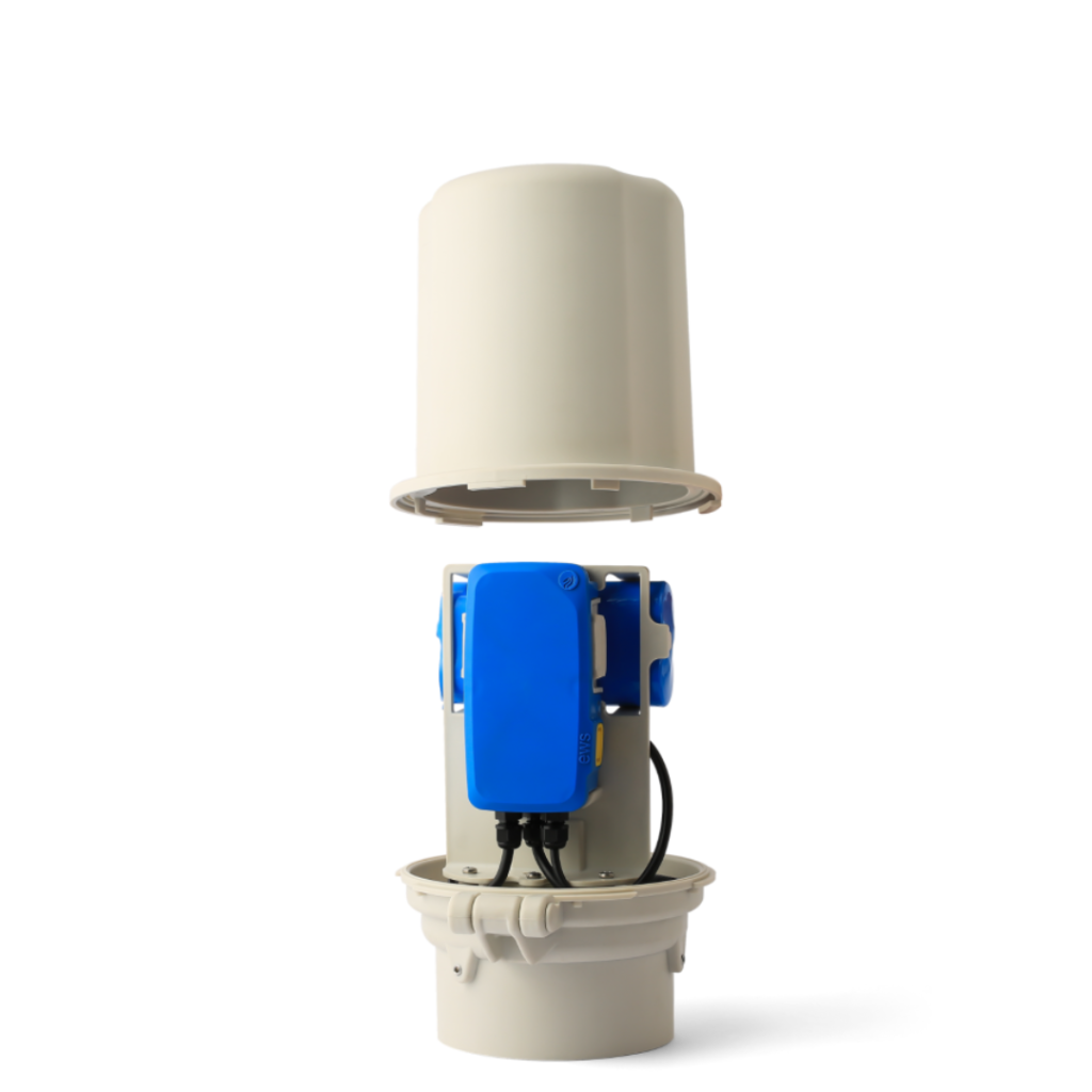
No AC power required
No mobile signal needed
Satellite-connected for real-time insights
Full data monitoring — not just alarms
Stay informed in real time and act early with confidence.
Your decision-making starts with the right data, delivered from the right place.
Flooding
Real Time Insights to Stay Ahead of Rising Water

Flooding can happen quickly especially in upstream or high risk areas where early warning is critical. In many places, water levels are still observed using manual methods such as gauge rulers, which have served their purpose for decades. However, these approaches often require someone to be on site, which can be difficult during heavy rain.
Our system builds on that foundation by providing continuous, real time updates without needing anyone at the site. With satellite connectivity and its own power source, it delivers water level and rainfall data directly to your phone or dashboard, helping you act faster with less risk.
The device is compact and easy to install, making it possible to relocate to other high risk areas once the flood season in one location has passed. This flexibility helps you maximise coverage across different sites throughout the year.
Key Areas We Help You Monitor
- Monitors river and drainage water levels
- Detects flash surge in upstream and hilly terrain
- Tracks flood zones near roads, bridges and infrastructure
- Measures rainfall in catchment areas
- Provides data trends, not just alerts

The system is designed to work where signal and power may not reach. It installs quickly, runs with minimal maintenance and gives you direct access to reliable insights from the field.
If you already have a system in place but face issues accessing the data, we can integrate with it, no need to start from scratch. Talk to us to see how we can support your flood risk monitoring needs.
Why It Works?
Installed directly at the source — even in remote locations
No AC power or mobile signal needed — satellite-connected and solar-powered
Real-time alerts and water level trends
Low-maintenance and built to last in harsh conditions
View data anytime from your phone or web dashboard
Whether it’s for early warning, response planning, or long-term flood risk monitoring, our system is designed to work where others can’t.
With real-time data, no infrastructure reliance, and full remote access, you’re always one step ahead — even when conditions change fast.
Protect what matters — with smart flood monitoring that works anywhere.
Monitoring Product